

LowTech
Well-known member
- Joined
- May 4, 2025
- Messages
- 80
I think we need a "trip reports" sort of space, right? Maybe one will get made and this can go there . . .
Three days and nights on the Colorado, down river of Hoover Dam.
Having a base camp 50 miles from the closest launch point allows for last minute decisions. We were shooting for a window between days of high wind conditions and days of rain.
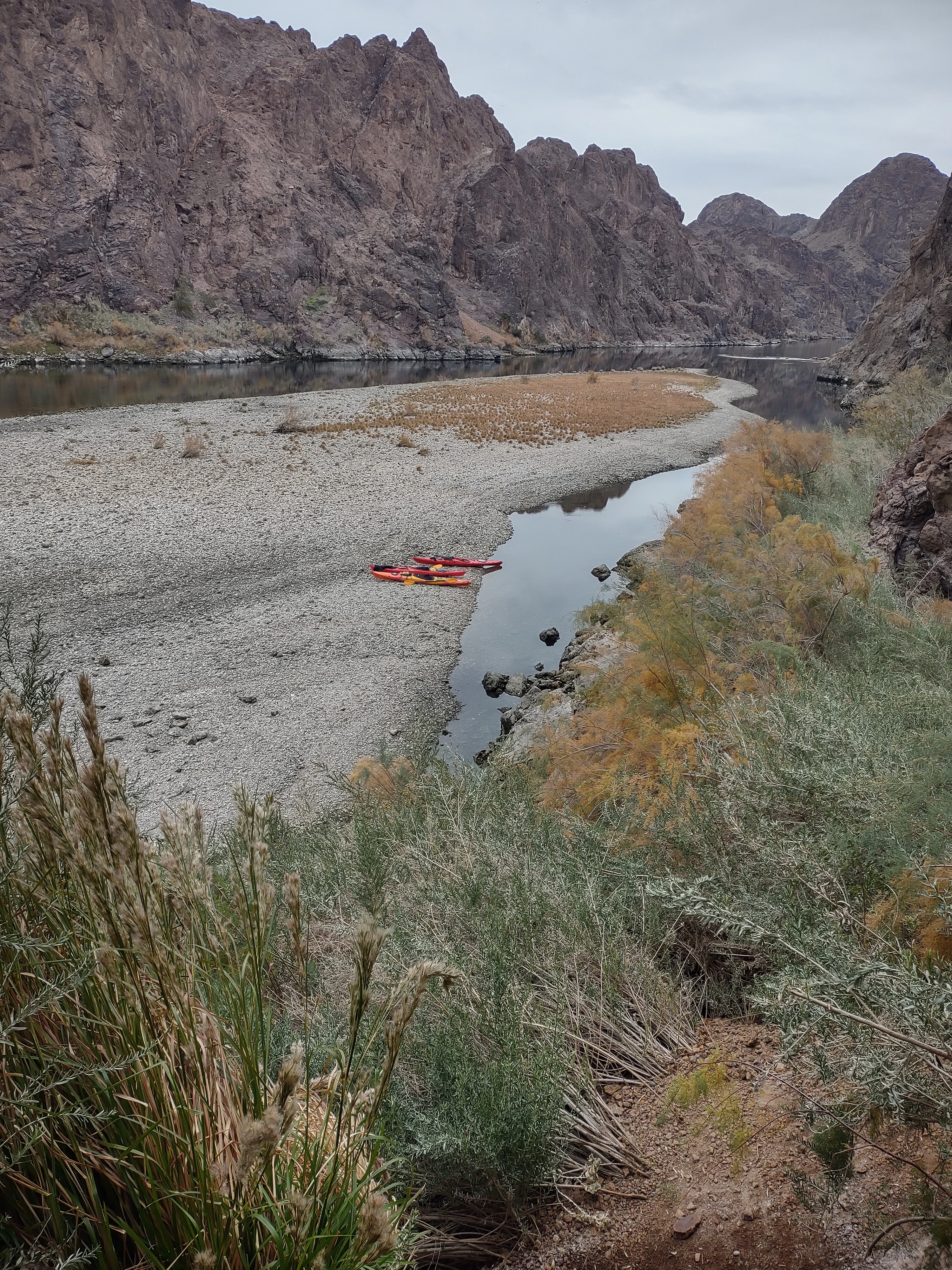
The first day would be an 8.4 mile up river paddle. At that point we'd camp up at the mouth of a hot spring canyon. I'd already been staring sat images to see if there was even vegetation that I "might" be able to hang from . . . it didn't look promising.
We spent the first river night in the back of the 4Runner, on inflatable mats, trying to work out a way to avoid being in pain . . . I failed. I've slept in the air for so long that I don't remember how to be comfortable on something solid.
We were there so that we could do a morning launch after the dam release died off.
The weather was off just enough that there were few other paddlers about and most of those were only going the two miles to the "well known" photo spot before returning.
We made the canyon that we were going to camp at 4 hours later and immediately I searched out possible sites. I was looking for a combo of hangable and w/ a flat spot as my partner was going to ground. There were a collection of mesquite in a joining side canyon that I could make work w/ my Solo pole, but nothing good for going to ground. I even found two mesquite that I could have hung from w/o using a pole . . . that freaked me out. I don't know how people do it, having to find two trees that are just right . . .

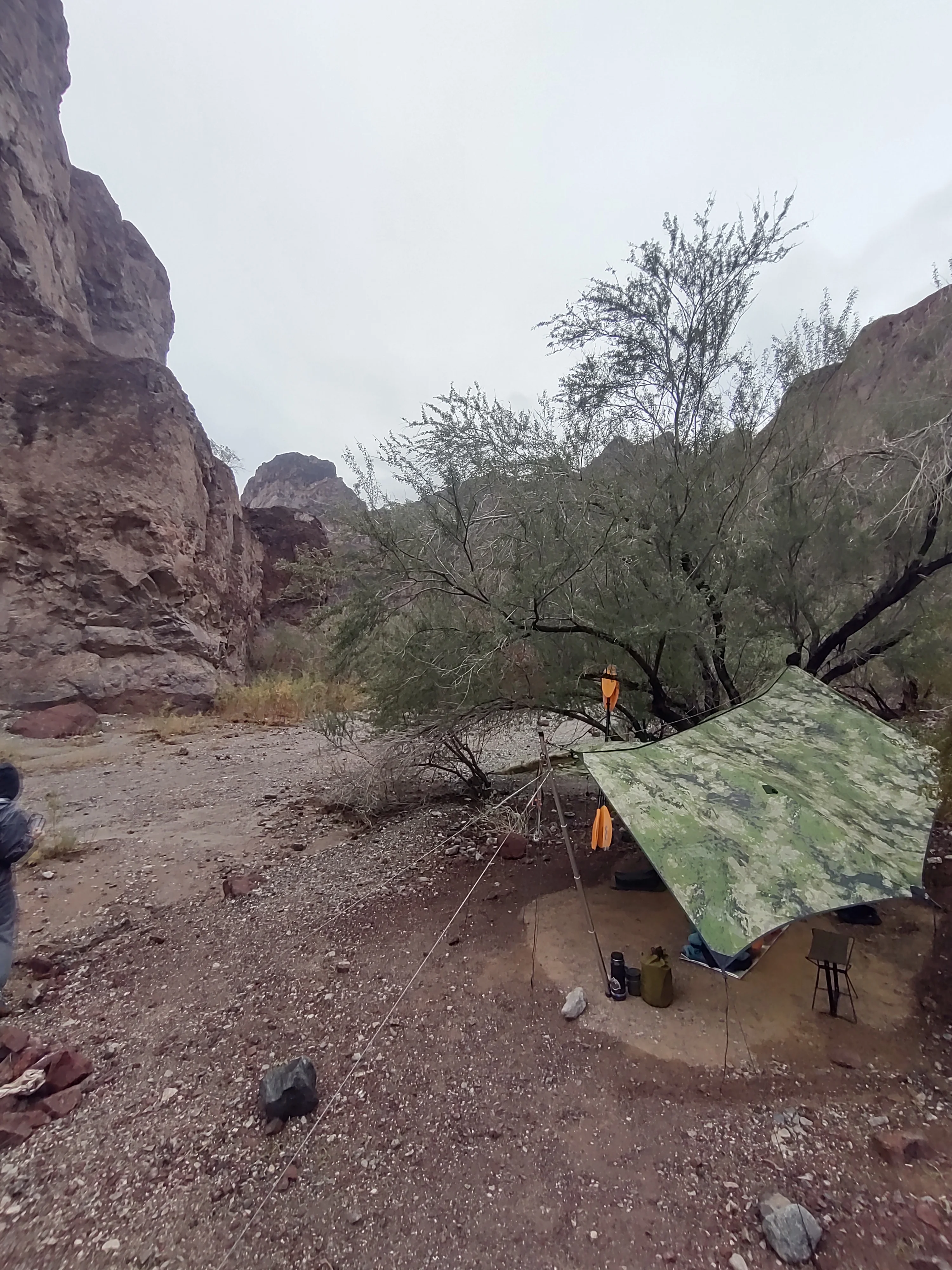
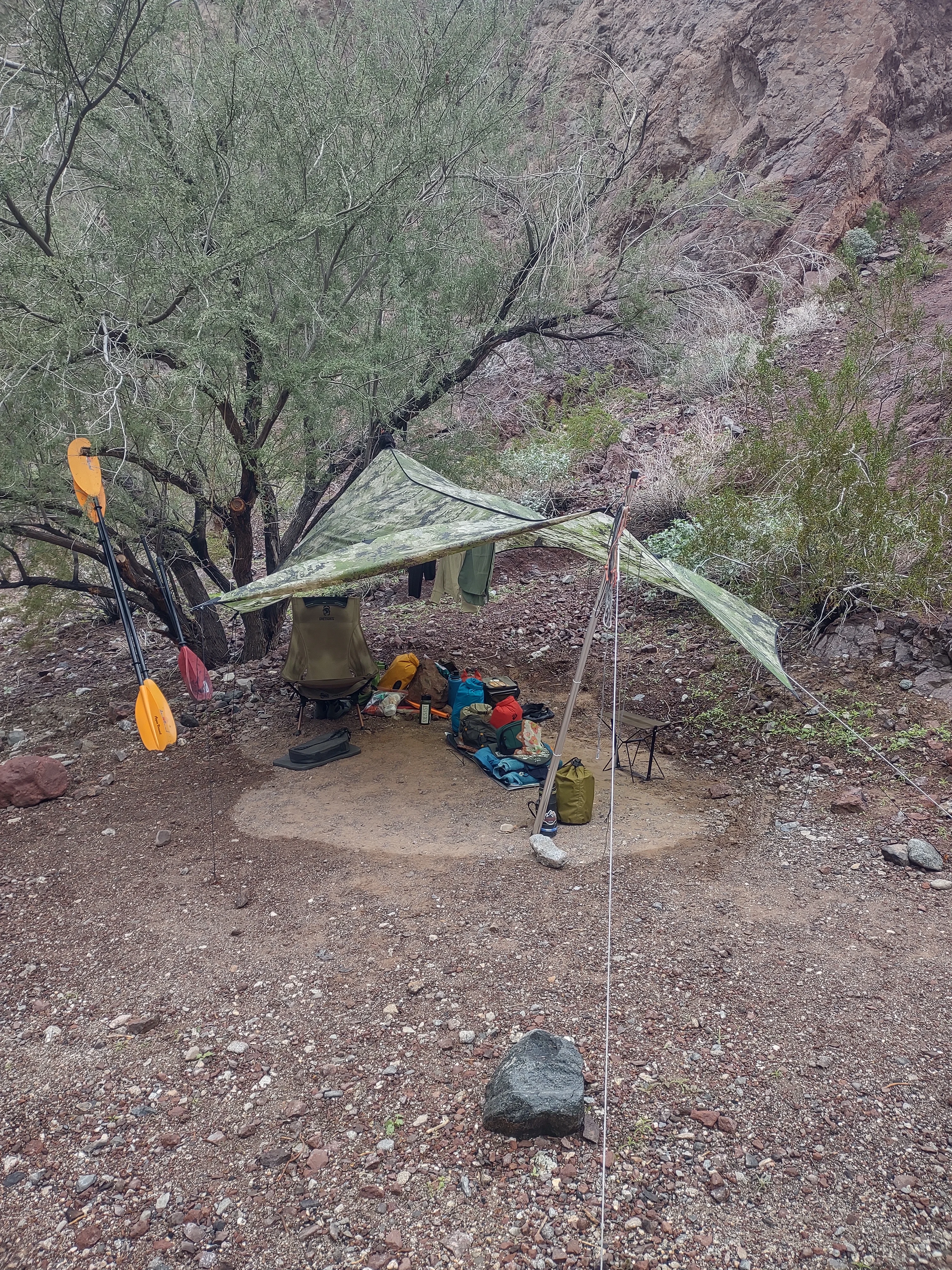
Then I found this spot, it was perfect, except for the fact that if it rained, which we were expecting, the rock wall would shed its water into the flat spot, but I wasn't sleeping on the ground so it was ok.
It was about 10° warmer that our base camp w/ night time lows in the high 40°s and high 50°s during the day. That night we hiked in about a quarter mile to the hot springs for an hour long soak before hitting the hammock. Sleep that night was blissful.
The second day we paddled three miles farther up river to the dam, or at least as close as they'll let you get. You can't actually see the dam from that point in the river as it's on a bend, just the new bridge.
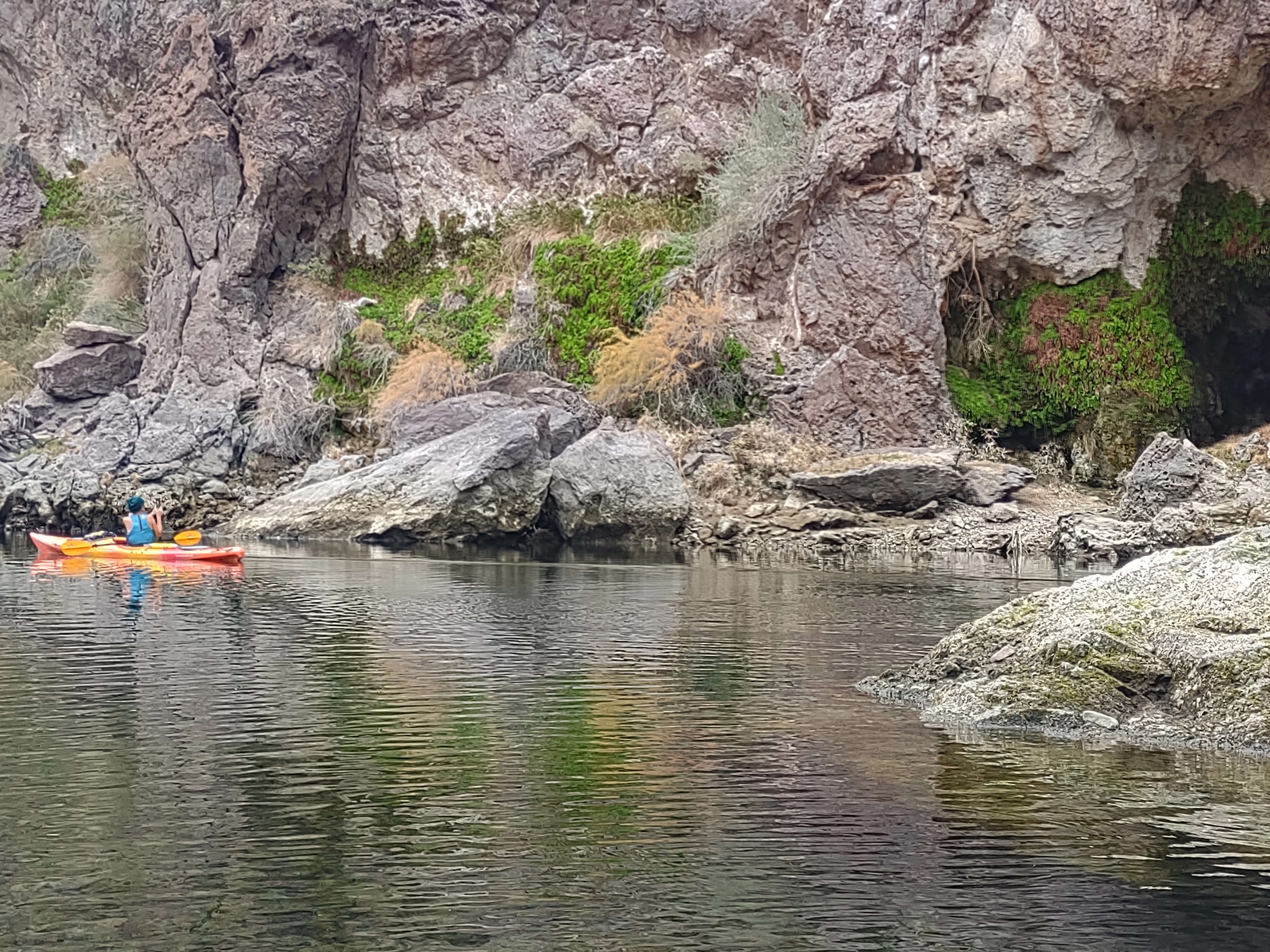
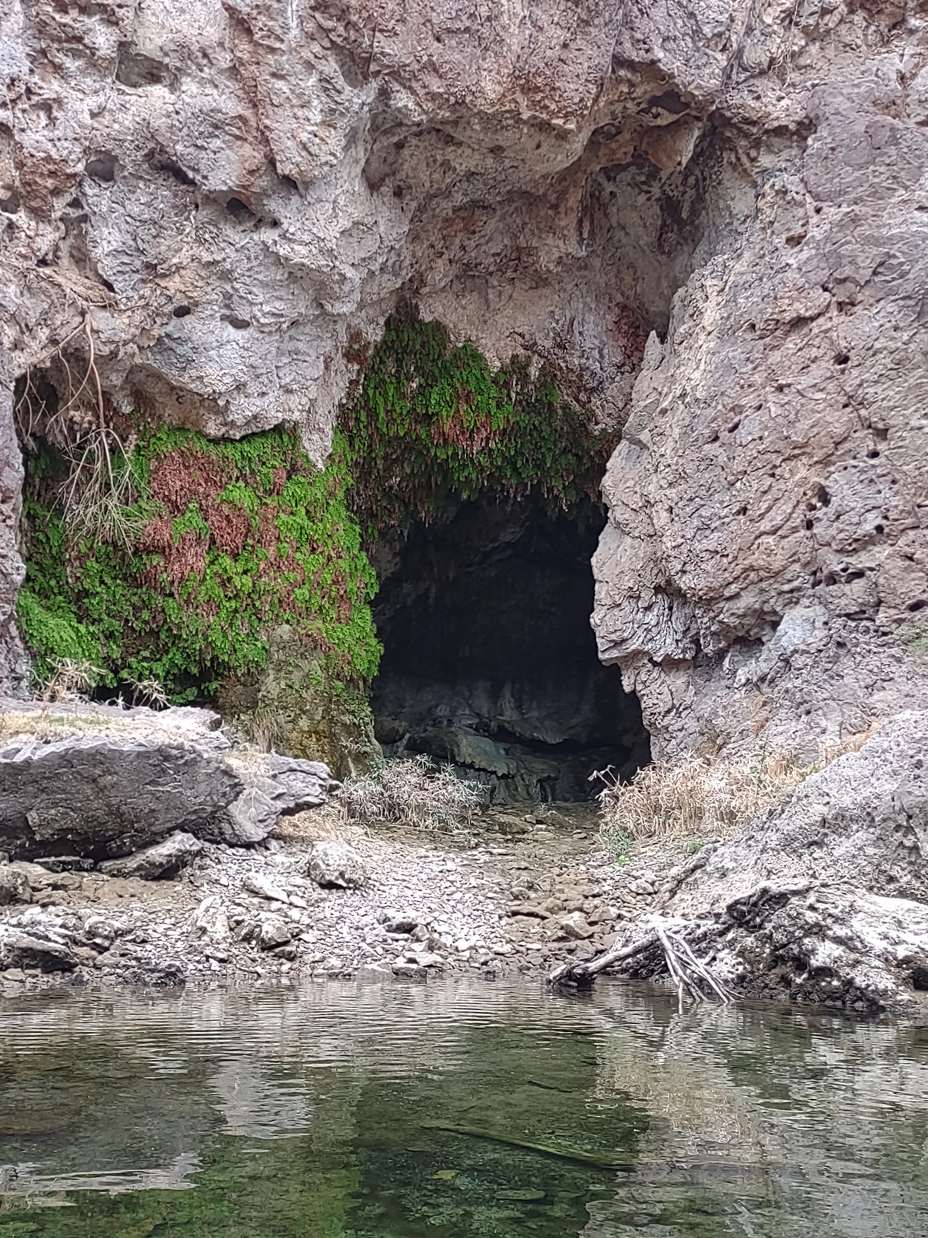
That whole area is loaded w/ hot springs and a few of them are big enough to be usable. Leaving the last one we were going to visit, while we were eating snacks and slow prepping to head down river, all of a sudden the river started to rise, fast. The dam was doing a pretty major release. Unfortunately the canyon mouth we were at had rocks that extended out 2/3rds of the way access the river that we were on the up river side of. It was going to take paddling up river using an up river gravel bar to block the main current until we could cut across the river w/ enough time to avoid getting pushed into the rocks. I followed last in case anyone had issues in the attempt. They both cleared and I followed clocking a speed of 9.3 mph in a craft that usually does around 3 mph.
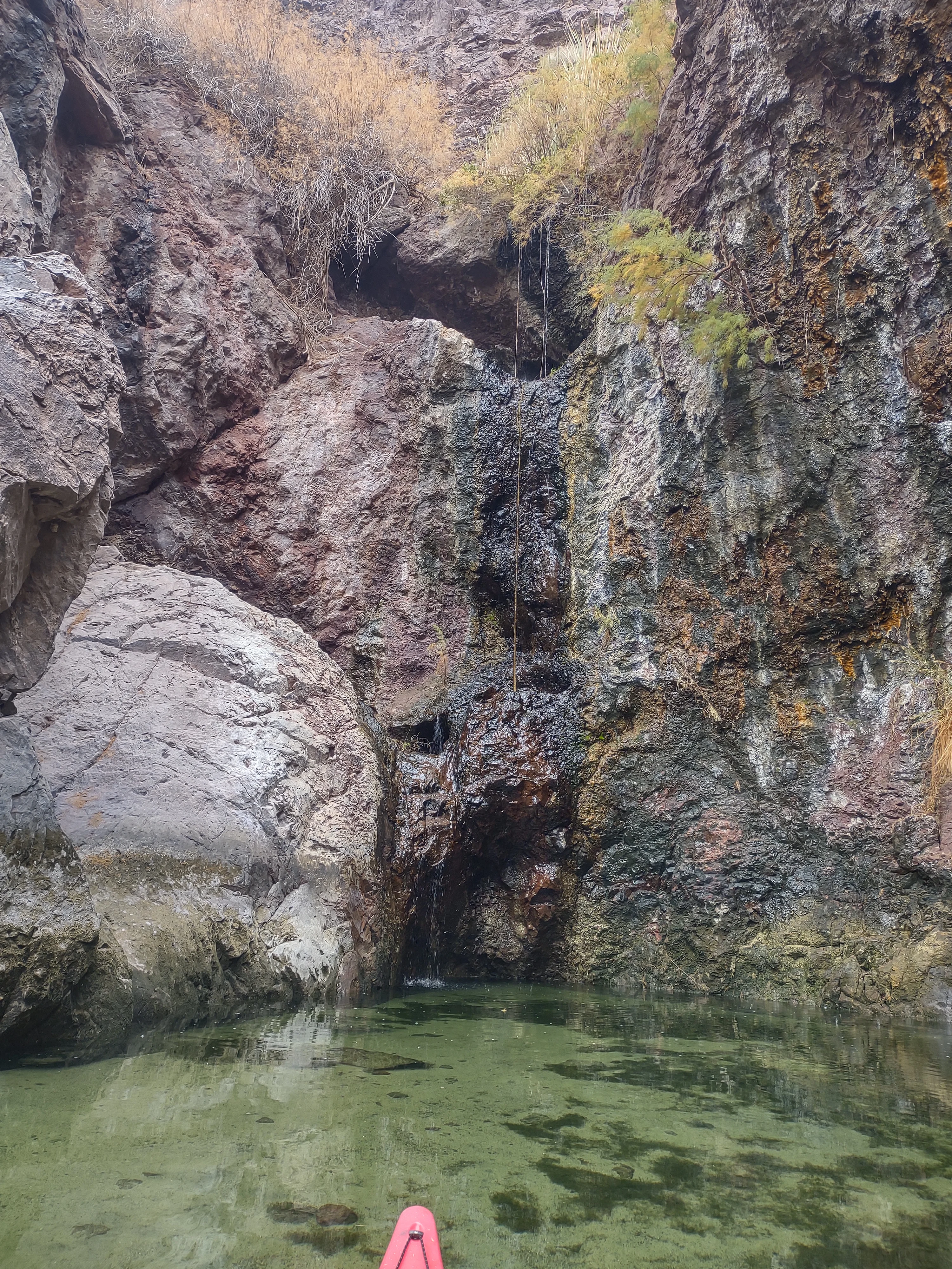
That night it rained and I got to practice my "shedding water of the tarp were I want" skills. Without controlling the runoff my partner was definitely going end up in a puddle.
By morning it was determined that I had passed and got my certificate.
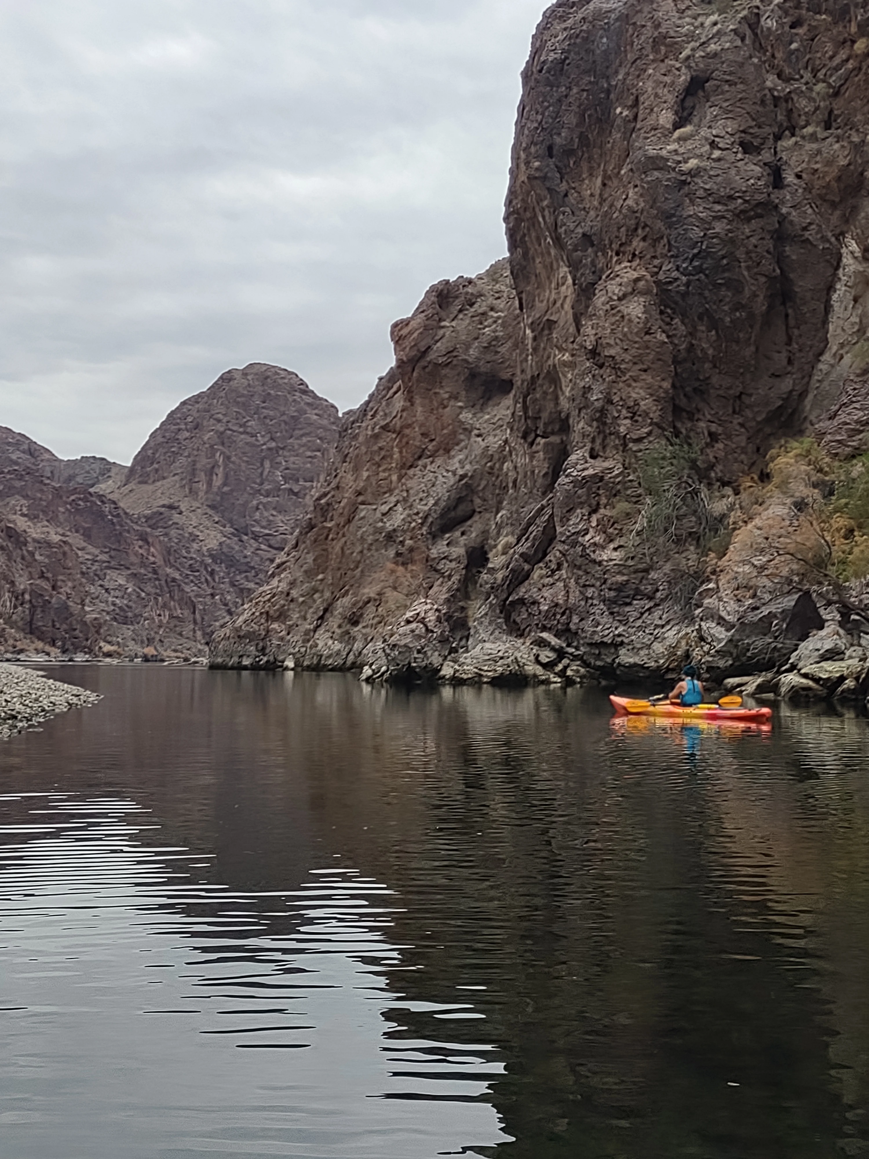
The last day, Jan 1st, and all down river from here. Other than running into some rain during the last 4-5 miles it was a very pleasant paddle back w/ having the river almost totally to ourselves.
Three days and nights on the Colorado, down river of Hoover Dam.
Having a base camp 50 miles from the closest launch point allows for last minute decisions. We were shooting for a window between days of high wind conditions and days of rain.
The first day would be an 8.4 mile up river paddle. At that point we'd camp up at the mouth of a hot spring canyon. I'd already been staring sat images to see if there was even vegetation that I "might" be able to hang from . . . it didn't look promising.
We spent the first river night in the back of the 4Runner, on inflatable mats, trying to work out a way to avoid being in pain . . . I failed. I've slept in the air for so long that I don't remember how to be comfortable on something solid.
We were there so that we could do a morning launch after the dam release died off.
The weather was off just enough that there were few other paddlers about and most of those were only going the two miles to the "well known" photo spot before returning.
We made the canyon that we were going to camp at 4 hours later and immediately I searched out possible sites. I was looking for a combo of hangable and w/ a flat spot as my partner was going to ground. There were a collection of mesquite in a joining side canyon that I could make work w/ my Solo pole, but nothing good for going to ground. I even found two mesquite that I could have hung from w/o using a pole . . . that freaked me out. I don't know how people do it, having to find two trees that are just right . . .
Then I found this spot, it was perfect, except for the fact that if it rained, which we were expecting, the rock wall would shed its water into the flat spot, but I wasn't sleeping on the ground so it was ok.
It was about 10° warmer that our base camp w/ night time lows in the high 40°s and high 50°s during the day. That night we hiked in about a quarter mile to the hot springs for an hour long soak before hitting the hammock. Sleep that night was blissful.
The second day we paddled three miles farther up river to the dam, or at least as close as they'll let you get. You can't actually see the dam from that point in the river as it's on a bend, just the new bridge.
That whole area is loaded w/ hot springs and a few of them are big enough to be usable. Leaving the last one we were going to visit, while we were eating snacks and slow prepping to head down river, all of a sudden the river started to rise, fast. The dam was doing a pretty major release. Unfortunately the canyon mouth we were at had rocks that extended out 2/3rds of the way access the river that we were on the up river side of. It was going to take paddling up river using an up river gravel bar to block the main current until we could cut across the river w/ enough time to avoid getting pushed into the rocks. I followed last in case anyone had issues in the attempt. They both cleared and I followed clocking a speed of 9.3 mph in a craft that usually does around 3 mph.
That night it rained and I got to practice my "shedding water of the tarp were I want" skills. Without controlling the runoff my partner was definitely going end up in a puddle.
By morning it was determined that I had passed and got my certificate.
The last day, Jan 1st, and all down river from here. Other than running into some rain during the last 4-5 miles it was a very pleasant paddle back w/ having the river almost totally to ourselves.


